

Mount Baker Highway and Artist Point make a long day trip from Bellingham: White Orchid’s rooms in Bellingham are in the city where the route begins. The drive heads east on Washington State Route 542 toward Mount Baker, ending at Artist Point when the seasonal road is open.
- Route: SR 542 runs east from Bellingham toward Mount Baker.
- Final stretch: The road to Artist Point is the highway’s final 2.7 miles.
- Seasonal access: Access to Artist Point depends on road conditions and seasonal reopening.
- Before departure: Check current SR 542 roadway information with WSDOT.
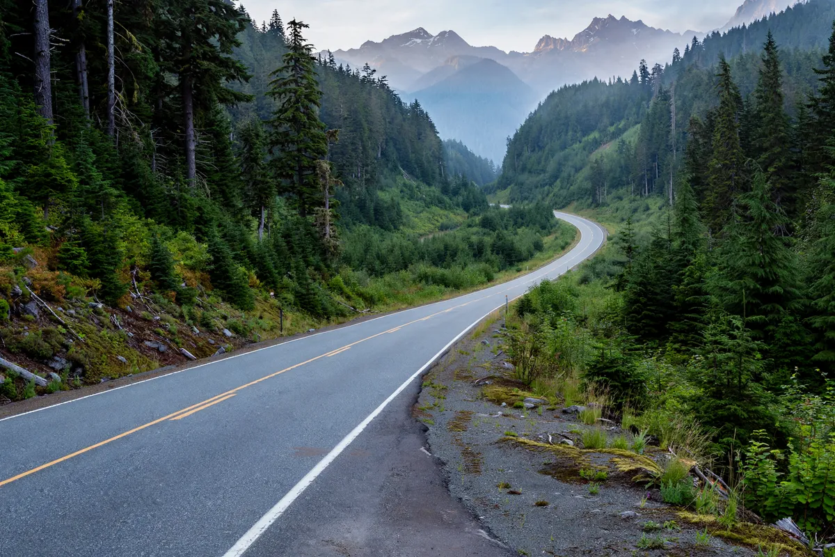
How the day trip fits together
This day trip follows SR 542 east from Bellingham, then continues toward Artist Point when the final stretch is open. Whatcom County describes SR 542 as running from Bellingham toward Mount Baker and notes that it intersects SR 9 along the way.
Plan to return along the same highway. Road conditions can affect travel, particularly at higher elevations, so check WSDOT’s current roadway information before leaving and again if conditions change.
Because Artist Point access is seasonal, confirm that the road is open before you build the day around reaching the viewpoint. If the upper road is closed, the drive east on SR 542 still takes you toward Mount Baker, but you should not assume you can reach Artist Point.
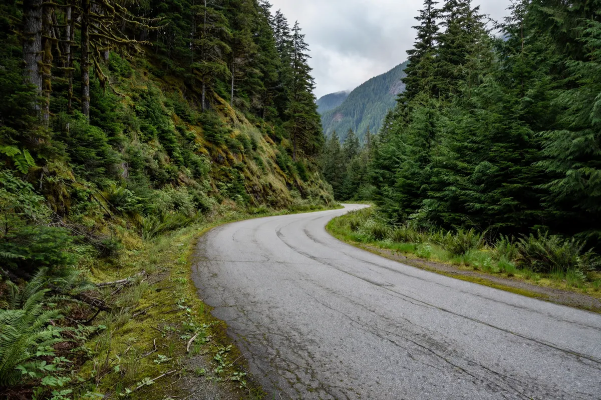
Driving Mount Baker Highway
Mount Baker Highway is Washington State Route 542, a route that runs east from Bellingham toward Mount Baker. As you drive east, SR 542 intersects SR 9; the highway continues toward the mountain beyond that junction.
WSDOT gives the SR 542 pass elevation as 4,250 feet. The final 2.7 miles of the highway lead to Artist Point, so the pass and upper road are important parts of planning the drive rather than details to leave until arrival.
Use WSDOT’s roadway information to check for closures and conditions before departure. WSDOT also provides updates through its free smartphone app and Highway Advisory Radio at 1610 AM and 530 AM. Check the official site before you go, since road information can change.
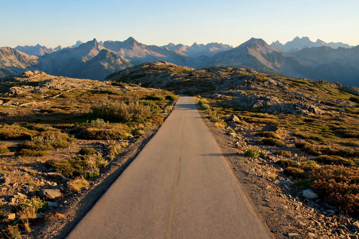
Artist Point access and seasonal conditions
Artist Point access depends on seasonal road conditions, so treat the upper stretch as conditional rather than guaranteed. WSDOT says weather and road-condition reports for SR 542 are traditionally provided from November 1 to April 1, with updates when adverse weather affects travel.
Winter driving calls for preparation at higher elevations. WSDOT advises drivers to use approved traction tires and carry chains because conditions can change quickly. When WSDOT posts “chains required on all vehicles,” four-wheel-drive and all-wheel-drive vehicles are included, and must use chains or an approved alternative.
Washington’s chain rules also require vehicles over 10,000 pounds gross vehicle weight or gross vehicle weight rating to carry at least two chains, or one set of tire chains, over any mountain pass from November 1 through March 31—even when a chain-up requirement is not posted.
When chains are required, front-wheel-drive passenger vehicles chain the front two tires; rear-wheel-drive passenger vehicles chain the rear two.
For more on seasonal planning in town, the Bellingham in winter guide covers weather and daylight.
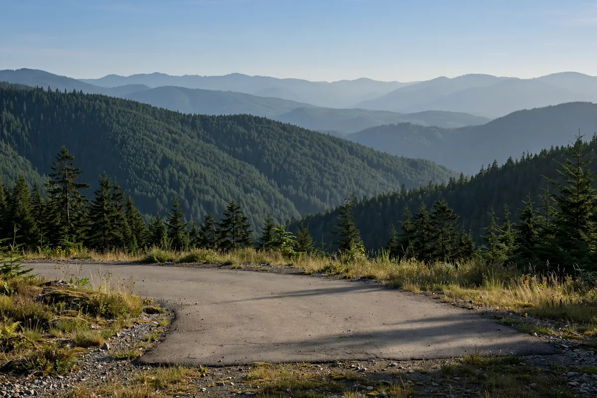
Stops and preparation for the return
Before starting the return, check roadway conditions again so you can account for any change on the highway. Whatcom County directs travelers to WSDOT for state-road and highway closure information because roads in the county fall under different jurisdictions. For SR 542 and the road toward Artist Point, WSDOT is the relevant source for current state-highway conditions.
If you are planning time in Bellingham beyond the drive, the Whatcom Falls Park guide to trails, waterfalls and visitor access covers another local outing.
When to reconsider the plan
Reconsider a trip to Artist Point if WSDOT reports a closure or conditions that make the upper road unsuitable for your vehicle and equipment. The final 2.7 miles are the road to Artist Point, so an open lower stretch of SR 542 does not by itself confirm access to the viewpoint.
Winter weather can change quickly at higher elevations. If chains are required, follow WSDOT’s posted instructions; if conditions do not support the drive, postpone the Artist Point plan rather than relying on the route being open.
FAQs
Is the road to Artist Point open all year?
Access is seasonal. Check WSDOT’s current SR 542 roadway information before planning to drive the final 2.7 miles to Artist Point.
What highway leads to Artist Point?
Artist Point is reached via Washington State Route 542, also called Mount Baker Highway. The route runs east from Bellingham toward Mount Baker.
Do you need chains on Mount Baker Highway?
Requirements depend on conditions and WSDOT postings. WSDOT advises drivers heading to higher elevations to use approved traction tires and carry chains in winter; when chains are required on all vehicles, that includes four-wheel-drive and all-wheel-drive vehicles.